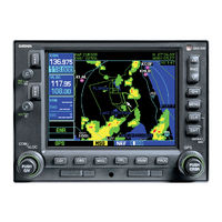
Garmin GPS 500 Manuals
Manuals and User Guides for Garmin GPS 500. We have 14 Garmin GPS 500 manuals available for free PDF download: Pilot's Manual & Reference, Installation Manual, Pilot's Manual Addendum, Quick Reference, Instructions Manual, Manual
Garmin GPS 500 Pilot's Manual & Reference (183 pages)
Garmin GPS 500: User Guide
Table of Contents
-
Foreword3
-
Warranty6
-
Power on12
-
Map Page16
-
Page Groups17
-
-
NRST Group19
-
Page Groups19
-
AUX Group19
-
WPT Group19
-
NAV Group19
-
-
NAVCOM Page21
-
Flight Plans26
-
-
Auto Zoom33
-
Map Panning35
-
Map Setup37
-
-
-
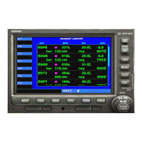
Nearest Airports111
-
Nearest NDB Page113
-
Nearest vor Page114
-
-
Utility Page130
-
Setup Page136
-
Date / Time138
-
Units / Position138
-
-
CDI/Alarms151
-
Interfaces167
-
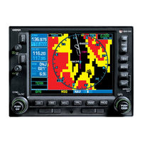
Garmin GPS 500 Pilot's Manual & Reference (256 pages)
garmin GPS 500 Pilot's Guide and Reference
Table of Contents
-
-
Main27
-
Nav28
-
Map Page32
-
TERRAIN Page41
-
Inhibit Mode43
-
TAWS Page44
-
NAV/COM Page47
-
-
-
Overview51
-
-
-
-
AUX Page Group135
-
Utility Page144
-
Setup Page152
-
-
-
Introduction167
-
TERRAIN Page169
-
TERRAIN Alerts170
-
-
Section 11: Taws
177-
Introduction177
-
TAWS Page179
-
TAWS Alerts180
-
-
-
Messages229
-
Abbreviations235
-
Navigation Terms238
-

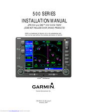
Garmin GPS 500 Installation Manual (107 pages)
Brand: Garmin
|
Category: Avionics Display
|
Size: 3.25 MB
Table of Contents
-
-
-
Altimeter33
-
Serial Data38
-
Rmi/Obi45
-
Garmin GPS 500 Pilot's Manual Addendum (76 pages)
Optional Displays, Weather Datalink, XM Satellite Datalink, TAWS, TERRAIN
Brand: Garmin
|
Category: Avionics Display
|
Size: 3.47 MB
Table of Contents
-
-
-
Introduction17
-
-
-
-
-
-
Power up40
-
TERRAIN Page40
-
Inhibit Mode41
-
-
-
Power up54
-
TAWS Page54
-
Inhibit Mode56
-
TAWS Symbols58
-

Garmin GPS 500 Pilot's Manual Addendum (27 pages)
Garmin GNC 420: User Guide
Table of Contents
-
-
Introduction12
-
Traffi C Page14
-
-
-
Air Shield24
-
Limitations25
-
Notes26

Garmin GPS 500 Pilot's Manual Addendum (22 pages)
400/500 Series GTS 8XX Interface
Brand: Garmin
|
Category: Avionics Display
|
Size: 1.28 MB
Table of Contents
-
Aural Alerts10
-
Self-Test10
-
Traffic Page13

Garmin GPS 500 Quick Reference (23 pages)
Table of Contents

Garmin GPS 500 Instructions Manual (6 pages)
Garmin GNC 420: Software Guide


Garmin GPS 500 Pilot's Manual Addendum (4 pages)
Garmin GNC 420: Supplementary Guide