Garmin GPSMAP 550s Manuals
Manuals and User Guides for Garmin GPSMAP 550s. We have 4 Garmin GPSMAP 550s manuals available for free PDF download: Owner's Manual, Gebruikershandleiding, Quick Reference Manual
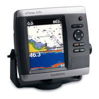
Garmin GPSMAP 550s Owner's Manual (72 pages)
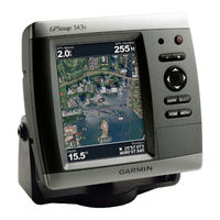
GPSMAP 400 Series; GPSMAP 500 Series
Table of Contents
-
-
Using Charts
14 -
Where to
28 -
Using Sonar
50 -
-
Appendix
60 -
Index
67
Garmin GPSMAP 550s Owner's Manual (72 pages)
GPSMAP 500 Series
Table of Contents
-
Warnings6
-
Using Charts
13 -
Where to
25 -
-
Using Sonar
41 -
Appendix
59 -
Index
69
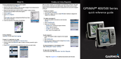
Garmin GPSMAP 550s Quick Reference Manual (2 pages)
Garmin GPSMAP 400: Reference Guide

(Dutch) Garmin GPSMAP 550s Gebruikershandleiding (72 pages)
GPSMAP 500-SERIE
Brand: Garmin
|
Category: Marine GPS System
|
Size: 5.03 MB